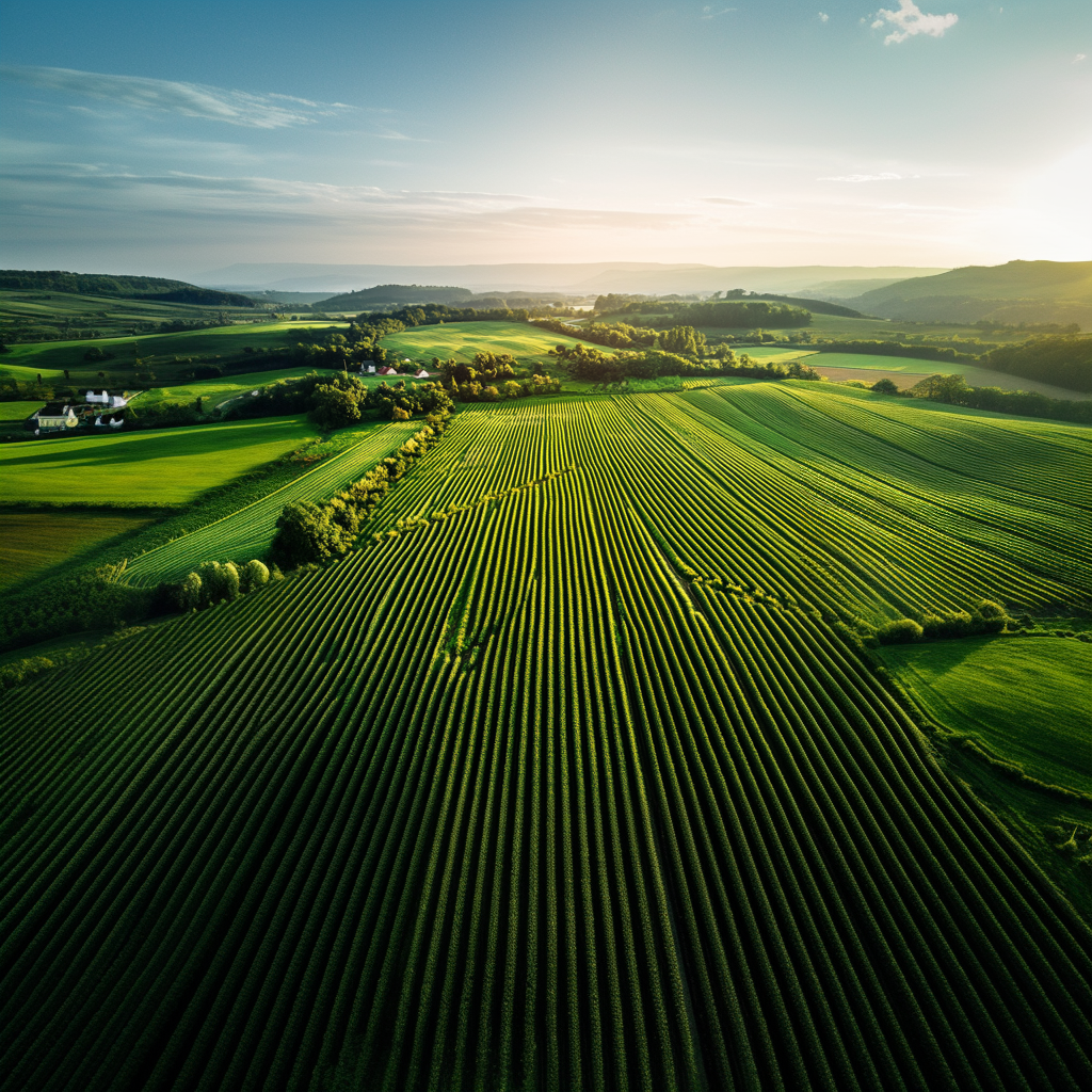
Data Acquisition
The land mass of agriculture is a challenge. Uploading your data or acquiring data should be fair and simple. We agree.
Our team has contracted with world-class, licensed, insured, and ag-specific contractors to acquire data for You. But, we have also made it easy to upload your own data in a secure, safe, and private environment.
Data Options
BYODIncluded w/ Subscription
Bring Your Own Data
- • Upload your own imagery
- • Secure data uploader
- • Multiple format support
UAV/Drone5 cm/px
High-Resolution Collection
- • Licensed & insured vendors
- • RGB and multispectral datasets
- • Minimum 200 acre collection
AircraftBi-annual
Large Scale Collection
- • Licensed vendors
- • 2× collections per year
- • Drone-equivalent resolution via AI
Additional data integration available for soil EC maps, soil maps, irrigation maps, and other agricultural datasets. Contact us to discuss your specific data integration needs.
Contact a Human
Let's talk about how we can put AI to work for you.
© 2020–2025 Agriculture Intelligence, Inc. All rights reserved.